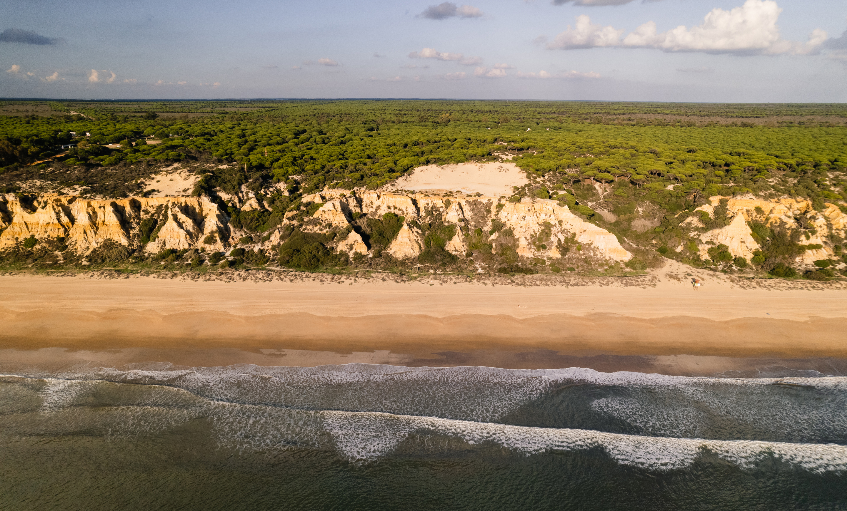
In the midst of lush pine trees and marshes, next to turquoise water and sand dunes, the 100 meter high El Arenosillo tower overlooks the protected Doñana national park and the Gulf of Cadiz. The station is strategically located in the southernmost parts of Andalusia, Spain, in a transitional point between the Atlantic Ocean and the Mediterranean Sea.
Smooth waves are slowly washing off the milelong white sand dunes, flanked by a wall of bleached yellow rocky cliffs. It is early December but the sun is gazing from a clear blue sky, and it is hard to believe that the winter holiday season is just behind the corner. Hidden away behind those rough cliffs, is the El Arenosillo National Institute for Aerospace Technology, that hosts a launch site for suborbital rockets for atmospheric soundings. This is also where the El Arenosillo ICOS station is located, surrounded by a symmetrical pattern of pine trees that stretches for up to 70 kilometers inland. In the middle of the pine woods, the red and white striped tower is peaking.
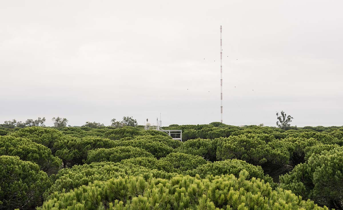
“This is the only tall tower belonging to ICOS in the Iberian Peninsula and also one of the first in Southern Europe, which additionally, is a region affected both by climate change and background air pollution - a region of high climatic interest,” says Ruben Padilla, PhD student.
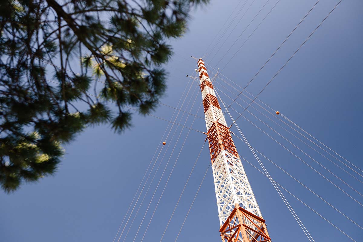
Ruben is studying methane gas levels and patterns, and is working closely with the El Arenosillo station PI, Jose Antonio Adame Carnero. They are both visibly enthusiastic showing us the impressive high tower, measuring carbon monoxide, methane and carbon dioxide at three levels: 10 meters, 50 meters and 100 meters.
“Thanks to the tall tower and the sample lines at high levels, it is possible to measure the emissions from the Mediterranean Sea, North Africa, Atlantic Ocean and even North America, also local and regional emissions from Sevilla, Huelva or even from Portugal, from the metropolitan area of Lisbon,” says Jose Antonio.
Identifying the origin of emissions
The team can identify the origin of the various emissions thanks to trajectory and meteorological models, and using for example data from the satellites.
“In the first approximation, we have the local meteorology to identify the origin of the wind. The second stage is to use meteorological or trajectory models to try to understand the weather conditions for the pathways of these airmasses. In the third stage, we can use the information from satellites to identify the chemical composition of the airmasses from the different regions,” says Jose Antonio.
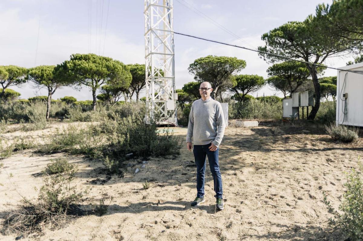
They are both spending several hours per week at the base of the tall tower in a small container, where the laboratory and the Picarro instrument is hidden.
“Inside the container we have the instrument for measuring the greenhouse gases, also the pumps, the valve to change between lines and the calibration tanks. We have controlled the container in temperature and humidity, to help keep a steady humidity and the same temperature. This way, the instruments are working always in perfect conditions,” says Jose Antonio.
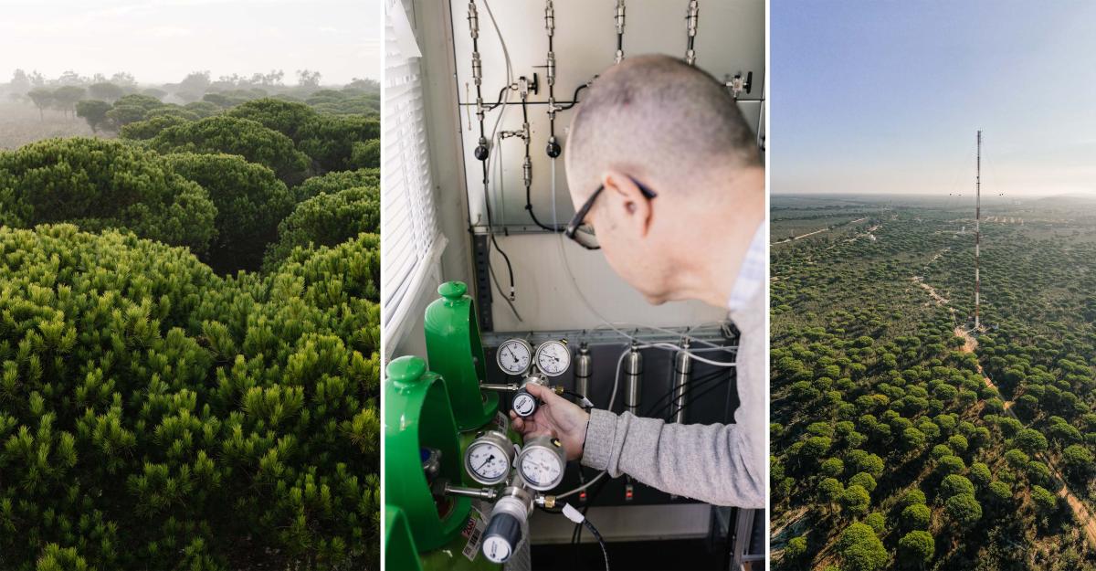
The laboratory at the base of the tower is Ruben’s favorite spot at the station:
“Despite the noise produced by the pressure pans there, more often than not I get some inspiration for my research there. Since also unfortunately, I have to go there by foot for checking the instruments, I get time to think about some of the investigations I am currently doing,” Ruben says.
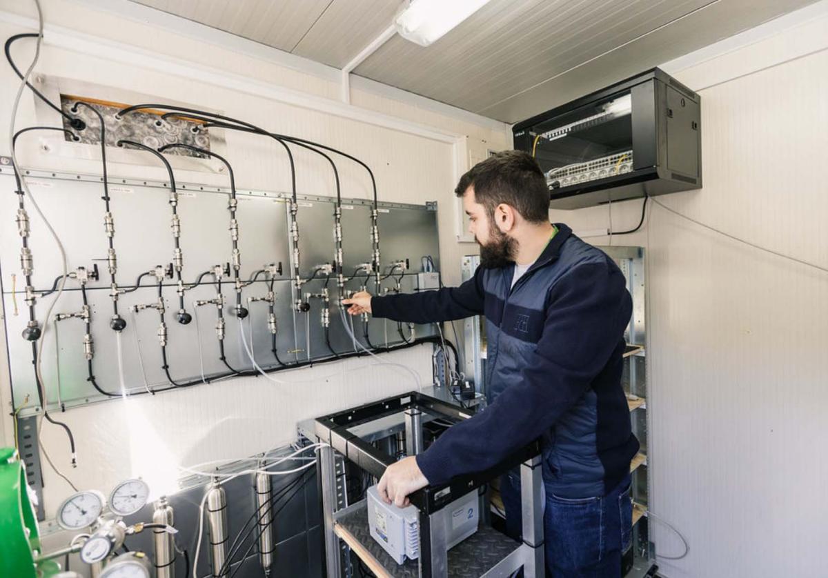
Climate change affecting the region
The Doñana national park is one of Europe's most important wetland reserves and a major site for migrating birds, several endangered species and wild horses.
“This station is unique since it is located in the middle of a protected natural environment, the Doñana national park, and next to the strait of Gibraltar, being a transitional location between the Atlantic Ocean and the Mediterranean Sea,” Ruben says.
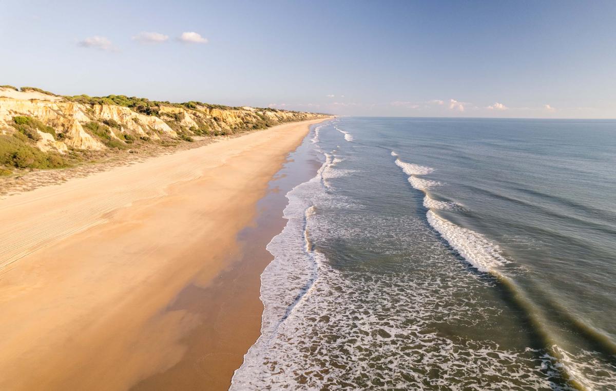
The national park covers an area of 543 km2 and displays a biodiversity that is unique in Europe, featuring a great variety of ecosystems and wildlife. The ecosystem has been under constant threat because of draining of the marshes, the use of river water to boost agricultural production, water pollution by upriver mining, and the expansion of tourist facilities. The region is also affected by climate change and for example droughts and fires.
“Unfortunately, in 2017, an extensive fire took place in the station surroundings that took most of the vegetation and wildlife. That happened a couple of years before I started working here. I was told that the wildlife was vivid, with foxes, bunnies, and lynxes running around. But due to the fire we have only observed a couple of foxes and mammals here since, and some snakes and scorpions,” says Ruben and continues:
“I’ve seen quite big spiders here, mostly inside the buildings, they are actually quite big like a thumb in some cases. Luckily, they are quite calm, one can pass around them and they don’t even notice you,” Ruben says with a laugh.
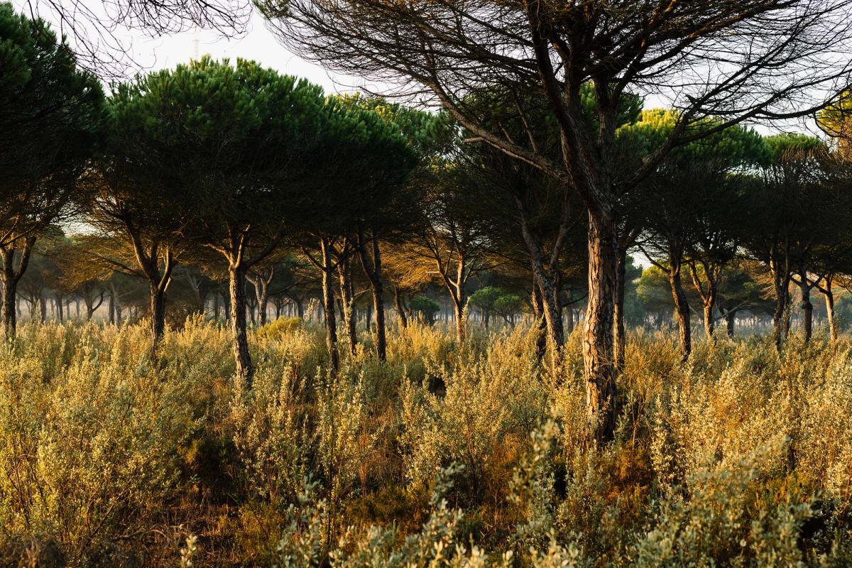
Despite the occasional spider visits, Ruben appreciates the silence and the relaxing atmosphere in the woods.
“It’s mostly quiet and peaceful here, since we are in a forested area. Although, in winter it is really cold and in summer, it is the opposite, it’s too hot especially in the evening. But the peace and calm that we have here, the pure air that we can breathe, it’s quite relaxing.”

Text: Charlotta Henry, ICOS
Photos: Pekka Pelkonen https://pekkelsson.com/