Imagine a city's emissions visualised, mapped, and analyzed to pinpoint areas for improvement. In the Greek city of Heraklion at the island of Crete, this is a reality. Here, researchers are creating a detailed map of the city’s urban footprint. This "emission mapping" is a crucial tool for developing and implementing effective strategies to reduce the city's environmental impact and create a more sustainable urban environment.
Heraklion's approach to emissions monitoring is multi-faceted, capturing the nuances of a bustling urban center.
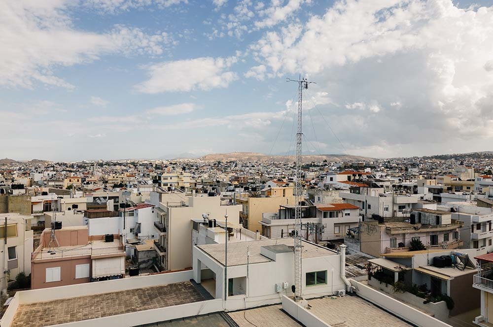
“First, we have the ICOS HECKOR station that is located in the center of the city, on top of one of the highest buildings in the area." explains Nektarios Spyridakis, Electrical Engineer at the Foundation for Research and Technology - Hellas (FORTH). "The HECKOR monitors greenhouse gases coming from almost the whole old city of Heraklion. This part of the city is the most touristic and it also includes all the businesses."

But HECKOR provides only part of the picture. Just a short distance away, in a quiet residential suburb, the HECMAS station monitoring tower offers a contrasting perspective.
"The reason to have two stations close to each other is that we can compare the residential data to the data coming from a place with working activities. We do see a lot of difference between these two - people leave one area to go to the other end for work, to come back later in the evening."
This dual perspective—capturing both the bustling city center and quiet residential areas—is crucial for understanding the complex dynamics of urban emissions.

From data to city climate action
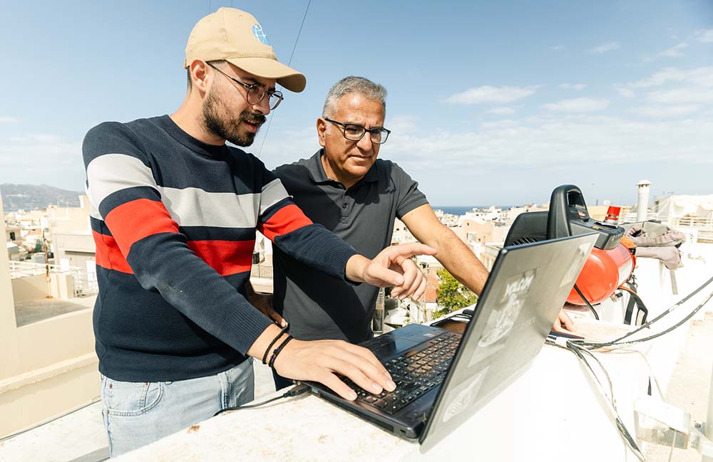
The research team are combining various monitoring techniques and they already have a large dataset after seven years of continuous measurements.
“When the municipality of Heraklion initiated city center improvements in 2018, our data allowed us to directly assess the impact of these changes on daily CO2 patterns," explains Konstantinos Politakos, Research Assistant at FORTH.
The local authorities implemented initiatives like pedestrianisation, road closures, traffic management, and urban greening. Thanks to the initiative the city has demonstrably shifted its emissions trajectory:
“We've seen a 20-30% reduction in monthly average emissions since then," Politakos declares.
Why city emissions matter
Around 75% of global emissions are coming from cities and therefore, it is important to monitor urban emission levels.
“This part of the European Mediterranean is actually a black spot because there are not so many stations and flux towers here. Even in Europe, the urban stations are few," ,” says Dr Chrysoulakis Nektarios, Principal Investigator for ICOS & Director of Research at FORTH.

Nektarios emphasizes the dual importance of urban monitoring.
"The first is to support urban research, because with these observations, we can evaluate and calibrate the climate models that we are using. We also need accurate information about the 3D structure of the urban surface – the carbon, the fabric and the vegetation distribution. That way we can take into account the footprint model of our towers."
This detailed understanding of urban form and function is critical to truly grasping a city's emissions. As Nektarios further explains:
"The flux towers are not point measurements - all the instruments are above the mixed layer, which means it is representative for the area around the tower. And we need to know all the characteristics of the form and the cover of this area. So we use a drone to collect that information.”
By combining traditional monitoring with cutting-edge techniques like drone surveillance, Heraklion is leading the way in understanding and ultimately reducing its urban footprint. The city's commitment to data-driven action offers a compelling model for other urban centers striving for a sustainable future.
Check out the other ICOS stations explored here
Text: Charlotta Henry
Photo: Pekka Pelkonen, ICOS RI