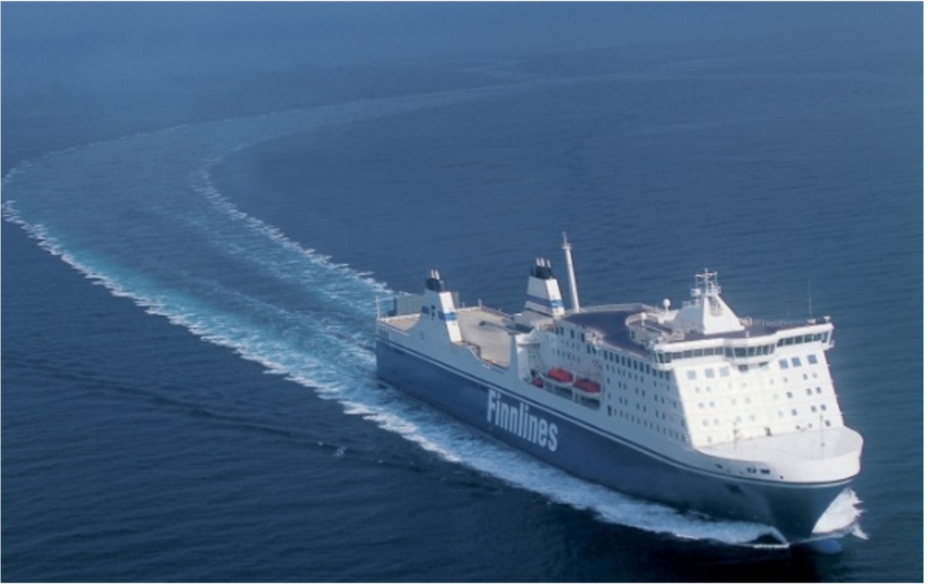
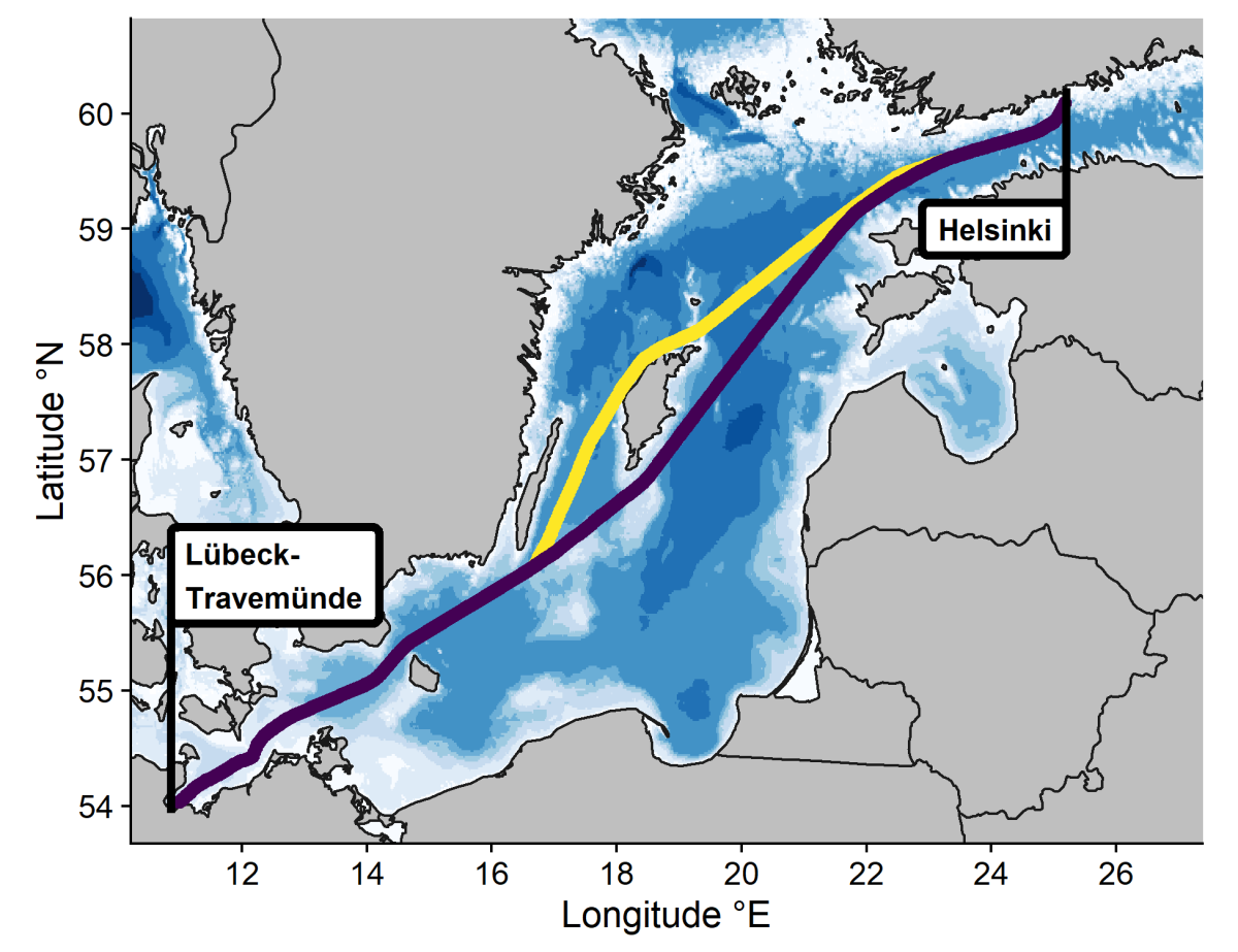
Have you ever taken a ferry and wondered about the machinery hidden beneath the deck? If you’ve travelled between Helsinki and Lübeck-Travemünde by sea, you might have encountered an ICOS station onboard.
Since the beginning of ocean observations, data collected from vessels have been the primary method for humans to better understand the ocean. The ICOS network of Ocean stations includes 25 stations on ships of opportunity (SOOPs). One of these stations, DE-SOOP-Finnmaid, is located onboard the Finnmaid passenger and cargo ship, that carries hundreds of passengers weekly.
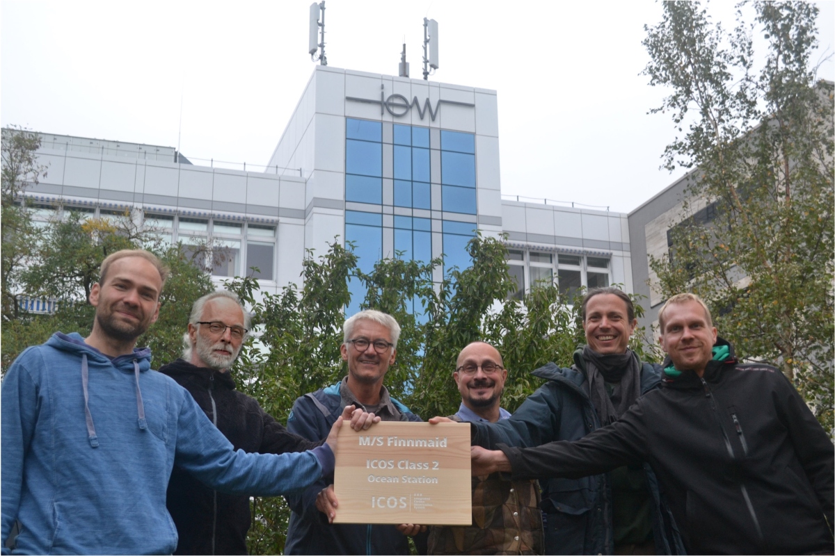
“The ship has been running continuously on the same route since 2008. The ship is one of a kind because it measures pCO2 on two mostly independent lines, oxygen but also partial pressures of methane, nitrous oxide and carbon monoxide. We also conduct pH measurements using spectrophotometry, allowing highest accuracy and precision, which is required to trace coastal acidification. So it’s quite a suite of different carbon system parameters. Also, the scientific work on Finnmaid is a joint effort of scientists in Warnemünde and colleagues in Helsinki, very much in the spirit of ICOS”, says Principal Investigator Gregor Rehder from Leibniz Institute for Baltic Sea Research Warnemuende, the host institute of the Finnmaid station.
Measuring from a ship line has its advantages and disadvantages
Compared to fixed ocean stations, which are typically set up on buoys not far from land, stations on commercial shipping routes can make measurements across a larger geographical area. The biggest geographical coverage can be achieved through cargo ships that frequently travel steady routes between continents.
Another advantage of having a station on a shipping line is that the ship follows a relatively stable route throughout the year.
“This type of vessel runs in almost all weather conditions where research vessels cannot operate”, Gregor Rehder says. “This means long-term measurements without disruptions, and data with less bias towards certain seasons. It’s very reliable to get data from this route, basically 365 days a year. And also per data point, it is very cost-effective.”
However, the stability of the route can change at any time, depending on decisions made by the ship’s owner, who could decide to end or alter the route or sell the ship at a moment’s notice. Having a stable route also means that researchers have less freedom to explore research interests outside the route.
“We cannot ask the ship to wait and let us take some water samples here”, explains Rehder. “This means measurements on SOOPs are two-dimensional, so you can only measure the surface water and not do any measurements on deep profiles.”
20 years of data helps identify trends in the Baltic Sea
The ICOS measurements on the Finnmaid are conducted at the rear of the ship, below the waterline at about 3 meters depth. The room hosting the instrumentation is a small space behind the engine room, and space is limited. The main cabinet packed with technology has about the size of a wardrobe—1.5 by 2 meters in footprint, and about 2.5 m high—that houses all the instruments and sensors. Additionally, there is a separate area for the pumping system that circulates seawater in and out of the ship.
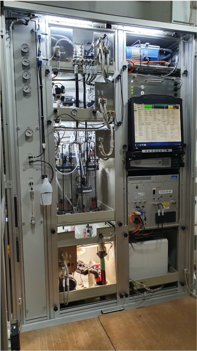
“Having access to direct seawater supply is quite unique for this station, allowing us to sample the environment in a clean and basically unaltered way”, says Henry Bittig, co-Principal Investigator of the station.
The small and shallow Baltic Sea, bordered by 9 countries and nearly 90 million people living along its shores, has suffered from various human-induced phenomena, including eutrophication due to rising nutrient loads.
“Within the Baltic Sea in particular, you can use the pCO2 signal to quantify primary production and mineralisation over the years. These measurements give us a diagnostic tool to learn about the biogeochemical processes in the Baltic Sea,” Gregor Rehder says.
"With this extensive data, we have better coverage and statistics, which reduces bias and gives us a more conclusive understanding of these rare events"
“Recently, we reviewed nearly 20 years of data and used it to build a regional climatology for the Baltic Sea”, continues Henry Bittig. “This work was published earlier this year, and it is quite valuable. It gives us mean state over those 20 years, allowing us to examine specific years or unusual data.”
“Thanks to this long record, a colleague was able to study events like coastal upwelling [an oceanographic phenomenon that involves wind-driven motion of dense, cooler, and usually nutrient-rich water from deep water towards the ocean surface]. These upwellings happen periodically, but when you go out with research vessels, you can’t always be sure if the conditions are right to observe such events. However, with this extensive data, we have better coverage and statistics, which reduces bias and gives us a more conclusive understanding of these rare events”, Henry Bittig adds.
Finnmaid offers testing facilities for the development of new sensors
Measurements on shipping lines provide a valuable backbone for ocean observations. Additionally, in recent years, there has been significant development in autonomous ocean observations. ICOS is a coordinator of the EU-funded project GEORGE, which develops new sensor and sampler technologies to be integrated into existing autonomous platforms such as floats, gliders or surface vehicles.
"When it comes to new instruments, it's crucial to ensure data quality over the long term."
The Finnmaid ICOS SOOP station contributes to this work by offering a facility for testing sensors alongside existing instrumentation. Being on a passenger ferry, Finnmaid offers easy access to testing sensors. The unique setup of the station, where it is possible to measure CO₂ and methane, provides ideal conditions for testing new multi-parameter sensors that combine these two.
“The number of ships that frequently operate in this region is quite limited, which is why autonomous platforms could play an important role,” says Gregor Rehder. “When it comes to new instruments, it's crucial to ensure data quality over the long term. That’s where Finnmaid comes in. We can essentially test how these sensors perform over time and determine whether they meet the data quality requirements of ICOS.”
Bittig, H. C., Jacobs, E., Neumann, T., & Rehder, G. (2023). A regional pCO 2 climatology of the Baltic Sea from in situ pCO 2 observations and a model-based extrapolation approach. Earth System Science Data Discussions, 2023, 1-30. https://doi.org/10.5194/essd-16-753-2024
Read more
ICOS Germany
ICOS Ocean stations
GEORGE project
Leibniz Institute for Baltic Sea Research Warnemünde